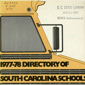
Since 1911 the South Carolina State Department of Education has published a yearly directory of schools in the state. Information catalogued in each issue is different; some issues include school and district information, Department of Education staff and programs, listings of private schools and colleges, statistics, and state educational associations. These directories provide valuable information …
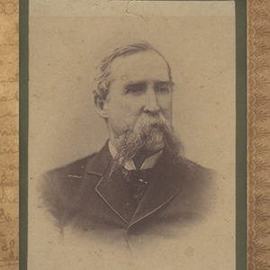
The Bible and its inserts, owned by Thomas Jones Davies, contain vital statistics of enslaved African Americans living on Davies’ plantations located throughout Georgia, Mississippi, and South Carolina. The plantations mentioned in the records include: Malvern and Gardner’s Swamp, of Beech Island, SC; Swamp Place, near Hamburg, SC; Cherry Hill and Waldburg of Burke County, …
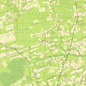
Measuring 14 ½ x 20 inches the Polyconic Projections were first published in the late 19th Century. Some were produced by the Army, others by the Corps. of Engineers and the remainder were produced by the United States Geological Survey (USGS). The scale is 1:62500. The contour intervals vary. Measurements are shown in miles, feet …
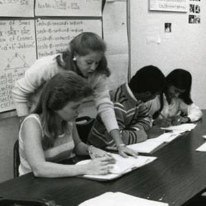
The University of South Carolina Aiken Photograph Collection, 1961-2011, contains a selection of images showcasing the last 50 years of USCA. The five main collections are Campus, Students, Faculty, Athletics and Chancellors.
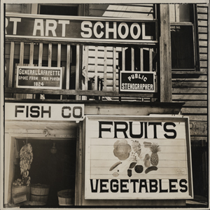
A collection of photographs documenting homes, schools, colleges, churches, streets, landscapes, murals, artwork, and other aspects of South Carolina life, these images were collected by photographers hired as part of Federal Writers’ Project. The Federal Writer’s Project was created in 1935 as part of the United States Work Progress Administration to provide employment for various …
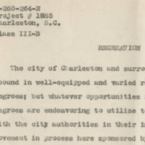
The Works Progress Administration (WPA) launched the Federal Writers’ Project to employ white-collar workers left jobless by the Great Depression and to create a comprehensive guide to the states, cities, and regions of the United States. The Federal Writers’ Project gathered information on American life and interviews with “ordinary” Americans from a wide variety of …