About
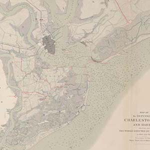
Collection of printed and hand-drawn maps of Charleston Harbor and Fort Wagner, South Carolina and nearby areas of North Carolina and Georgia. Of particular interest are the drawings depicting batteries and approaches on Morris Island during the Siege of Charleston, 1863.
Related Terms:
- Open Parks Network
Institution:
- Maps
Media Types:
- Charleston County
SC Counties:
- U.S. Civil War (1861 - 1865)