About

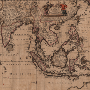
This collection of 17th century world maps was published and printed by the Danckerts family, and was donated as a part of the Mitchell King Library. These 31 maps cover various countries in Europe, as well as the continents of Asia, Africa, and North and South America. The maps are by various cartographers including Visscher, Schagen, Overton, Ram, Blaeu, Broen, and Borgonio.
Related Terms:
- College of Charleston
Institution:
- Maps
Media Types:
SC Counties:
- Colonial Period (1670 - 1764)
