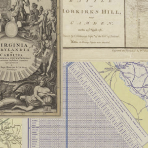
The map collection of the South Caroliniana Library has always been a significant resource for geographers, historians, and genealogists. In the past two hundred years, technological changes have substantially altered the landscape of South Carolina, and the library’s map collection visually documents these transformations. The maps show airports, battlefields, cemeteries, churches, cities, highways, Native American …
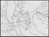
This series of 31 maps of the South Carolina coastline depicts water-surface elevations, high water marks, and landward extent of storm-tide inundation caused by Hurricane Hugo, September 21-22, 1989.
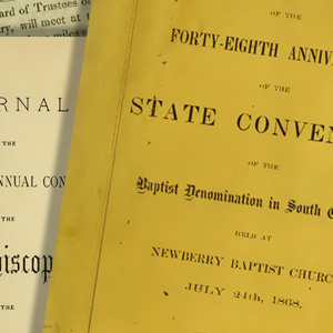
This digital collection from the USC’s South Caroliniana Library comprises nearly 400 volumes of Minutes of the Annual Conferences of the Baptist, Episcopal, Lutheran, Methodist, and Presbyterian Churches in South Carolina between 1785 and 1920. This collection will enable researchers to examine the activities of the Baptist, Episcopalian, Lutheran, Methodist, and Presbyterian Churches in South …
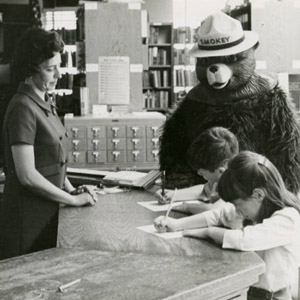
The South Carolina State Library and the South Carolina Digital Library present the South Carolina Children’s Library Services Collection, a collection of historical and contemporary images from the 1940s-2000s relating to library services for children. The photographs are from the archives of the South Carolina State Library and many were taken by State Library field …
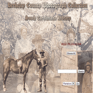
Once part of an album, the photographs (circa 1900) show plantations, African Americans, horses, hunting, rice threshing, wagons and carts, and churches in Berkeley County, S.C. Some featured landmarks are: Medway, Wappahoola, Mulberry Castle, Dean Hall (bulk of collection,) Dockon, Bushy Park, Exeter, Cote Bas, Bippy, Lewisfield, Strawberry Chapel, Strawberry ferry, and pine land house. …
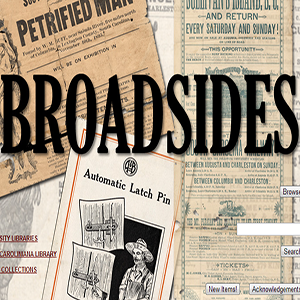
Broadsides is a virtual collection of posters from many different collections at the South Caroliniana Library.

This collection contains Bible records for a number of South Carolina families. They date from the late 1700s to the late 1900s. The Bible records contain information on births, marriages, deaths, and other notable events that occurred within the families. Read more…
Forward Together is a multiple-venue project, developed by a consortium of historical and educational institutions, that focuses on the participation of South Carolina during World War I and its effects on the state. Through exhibitions, public lectures, and the development of curricula, this project gives the community a better understanding of the twentieth century’s economic, …
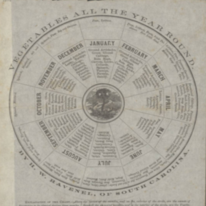
This collection of one hundred ten manuscripts, thirteen fully transcribed journals, and thirty-nine photographs, as well as his five Fungi Caroliniani Exsicatti Century books now available online, documents the family life, business pursuits, and natural history interests of South Carolina planter, botanist, and agricultural writer Henry William Ravenel (1814-1887). In addition, Ravenel’s plant specimens from …
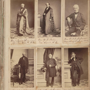
This Civil War-era photograph album contains cartes-de-visite photographs of members of the S. C. Secession Convention, Confederate and U.S. Governments, officers of the Confederate and U.S. Armies, S.C. governors, and officers of the South Carolina Volunteers 1st Regiment of Rifles. It also includes unidentified Heyward family and friends and 19th century pictures. Many photographs were …