About
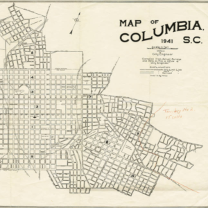
The Maps of Columbia and Richland County collection features an assortment of historic maps of Columbia and the surrounding areas. These maps depict streets, political boundaries, and school zones from the early twentieth century. These maps along with additional maps are located in the Walker Local and Family History Center at Richland Library.