About

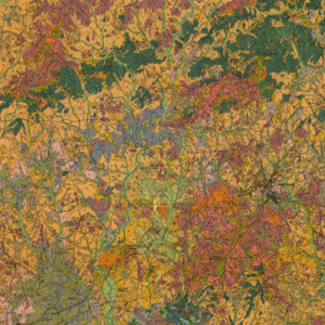
These forty South Carolina soil survey maps from the early Nineteen Hundreds were prepared with booklets to explain the soil classifications on the county level. They include information that do not appear on updated survey maps, such as old rail lines, schools, churches and other structures as well as entire towns that no longer exist.
Related Terms:
- University of South Carolina, Map Library
Institution:
- Maps
Media Types:
- Abbeville County,
- Aiken County,
- Allendale County,
- Anderson County,
- Bamberg County,
- Barnwell County,
- Beaufort County,
- Berkeley County,
- Calhoun County,
- Charleston County,
- Cherokee County,
- Chester County,
- Chesterfield County,
- Clarendon County,
- Colleton County,
- Darlington County,
- Dillon County,
- Dorchester County,
- Edgefield County,
- Fairfield County,
- Florence County,
- Georgetown County,
- Greenville County,
- Greenwood County,
- Hampton County,
- Horry County,
- Jasper County,
- Kershaw County,
- Lancaster County,
- Laurens County,
- Lee County,
- Lexington County,
- Marion County,
- Marlboro County,
- McCormick County,
- Newberry County,
- Oconee County,
- Orangeburg County,
- Pickens County,
- Richland County,
- Saluda County,
- Spartanburg County,
- Sumter County,
- Union County,
- Williamsburg County,
- York County
