In collaboration with a pilot group of South Carolina teachers, USC Libraries has made these primary resources available online with the SC Social Studies Standards.
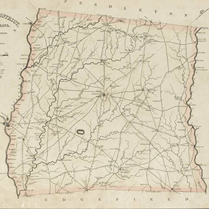
The 1825 publication of Robert Mills’ Atlas of the State of South Carolina marked an American cartographic first. This volume is the first systematic atlas of any state in the union. Remarkably, too, no other state atlas of South Carolina was published for the next century and a half.
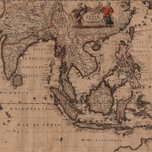
This collection of 17th century world maps was published and printed by the Danckerts family, and was donated as a part of the Mitchell King Library. These 31 maps cover various countries in Europe, as well as the continents of Asia, Africa, and North and South America. The maps are by various cartographers including Visscher, …

Originally conceived in the late 18th Century, fire insurance maps provided structural and urban environmental information necessary for insurance underwriters. Founded in 1867 in the United States, the Sanborn National Insurance Diagram Bureau systematically produced ascetically appealing, but also efficient, maps nationwide. This New York firm expanded and grew immensely, finally emerging as the Sanborn …

Spanning five decades, the University of South Carolina’s collection of aerial photograph indexes consists primarily of projects commissioned by the United States Department of Agriculture. Showing cities, farms, forests, reservoirs, coastlines, and other features across the state, the indexes provide a visual overview of each project’s collection of individual aerial photographs, many of which are …
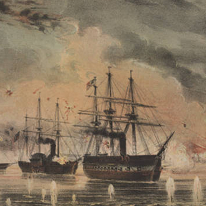
A collection of photographs, manuscripts, books, and maps from the Civil War era from the University of South Carolina Libraries with essays from Dr. Thomas J. Brown and Dr. Dorothy Pratt. This collection will continue to have materials added to it.
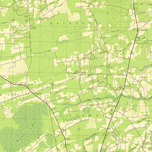
This is a collection of over 700 South Carolina county road maps from 1930s to the 1990s, courtsey of the University of South Carolina Thomas Cooper Map Collection.
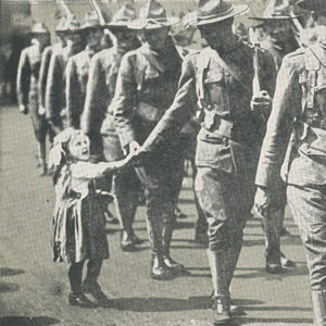
This collection is a selection of items including photographs, postcards, pamphlets, newspaper articles, and letters that describe experiences of World War I soldiers in the Spartanburg area. Most items are about Camp Wadsworth and included are a map, materials from the Camp library, and images from the U.S. Army Corp of Engineers. There is a …
Measuring 14 ½ x 20 inches the Polyconic Projections were first published in the late 19th Century. Some were produced by the Army, others by the Corps. of Engineers and the remainder were produced by the United States Geological Survey (USGS). The scale is 1:62500. The contour intervals vary. Measurements are shown in miles, feet …
This scrapbook by William Henry Johnson is part of a collection of three, which document the history of a large array of Lowcountry plantations and places of interest. In this book – compiled, 1928-1932 – Johnson focuses on the Cooper River region and in the Parishes of St Stephen, St James Goose Creek, St James …