About
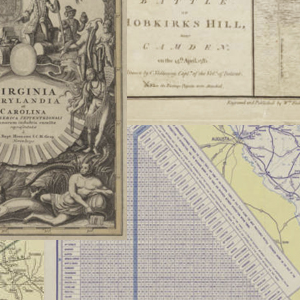
The map collection of the South Caroliniana Library has always been a significant resource for geographers, historians, and genealogists. In the past two hundred years, technological changes have substantially altered the landscape of South Carolina, and the library’s map collection visually documents these transformations. The maps show airports, battlefields, cemeteries, churches, cities, highways, Native American territories, postal routes, railroads, schools, topographical features, towns, and urban, rural, and African American slave populations. Taken together, the maps chart the state’s urbanization over time. The collection also contains a number of maps dating from the 16th, 17th, and 18th centuries, which are vital to researchers interested in the history of cartography.
Related Terms:
- Maps
Media Types:
- Abbeville County,
- Aiken County,
- Allendale County,
- Anderson County,
- Bamberg County,
- Beaufort County,
- Berkeley County,
- Calhoun County,
- Charleston County,
- Cherokee County,
- Chester County,
- Chesterfield County,
- Clarendon County,
- Colleton County,
- Darlington County,
- Dillon County,
- Dorchester County,
- Edgefield County,
- Fairfield County,
- Florence County,
- Georgetown County,
- Greenville County,
- Greenwood County,
- Hampton County,
- Horry County,
- Jasper County,
- Kershaw County,
- Lancaster County,
- Laurens County,
- Lee County,
- Lexington County,
- Marion County,
- Marlboro County,
- McCormick County,
- Newberry County,
- Oconee County,
- Orangeburg County,
- Pickens County,
- Richland County,
- Saluda County,
- Spartanburg County,
- Sumter County,
- Union County,
- Williamsburg County,
- York County
SC Counties:
- American Revolution (1775-1783),
- Colonial Period (1670 - 1764),
- Colonial Unrest,
- New Republic (1765 - 1789),
- Colonial Unrest, American Revolution, & New Republic (1765 - 1789),
- Early Republic & War of 1812 (1790 - 1815),
- The Antebellum South (1816 - 1860),
- U.S. Civil War (1861 - 1865),
- Reconstruction (1866 - 1877),
- Industry & the Gilded Age (1878 - 1889),
- Turn of the Century (1890 - 1913),
- World War I (1914 - 1918),
- Jazz Age (1919 - 1929),
- Great Depression (1930 - 1938),
- World War II (1939 - 1945),
- Post-War America (1946 - 1954),
- Civil Rights Era (1955 - 1969),
- The Modern State (1970 - present)