About
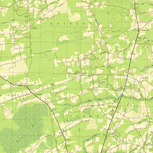
Measuring 14 ½ x 20 inches the Polyconic Projections were first published in the late 19th Century. Some were produced by the Army, others by the Corps. of Engineers and the remainder were produced by the United States Geological Survey (USGS). The scale is 1:62500. The contour intervals vary. Measurements are shown in miles, feet and kilometers.
The final maps in the series were produced in the early 1970’s. All later Topographic Maps of South Carolina are produced by the USGS in their present 7 ½ Minute format. The later 15 Minute maps created were reproductions of earlier editions, due to lack of sufficient changes in the area covered and by lack of funding submitted by the State. At the time, the State was expected to contribute funds toward the production of the maps.
Related Terms:
- University of South Carolina, Map Library
Institution:
- Maps
Media Types:
- Abbeville County,
- Aiken County,
- Allendale County,
- Anderson County,
- Bamberg County,
- Barnwell County,
- Beaufort County,
- Berkeley County,
- Calhoun County,
- Charleston County,
- Cherokee County,
- Chester County,
- Chesterfield County,
- Clarendon County,
- Colleton County,
- Darlington County,
- Dillon County,
- Dorchester County,
- Edgefield County,
- Fairfield County,
- Florence County,
- Georgetown County,
- Greenville County,
- Greenwood County,
- Hampton County,
- Horry County,
- Jasper County,
- Kershaw County,
- Lancaster County,
- Laurens County,
- Lee County,
- Lexington County,
- Marion County,
- Marlboro County,
- McCormick County,
- Newberry County,
- Oconee County,
- Orangeburg County,
- Pickens County,
- Richland County,
- Saluda County,
- Spartanburg County,
- Sumter County,
- Union County,
- Williamsburg County,
- York County