About

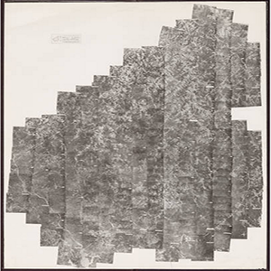
Spanning five decades, the University of South Carolina’s collection of aerial photograph indexes consists primarily of projects commissioned by the United States Department of Agriculture. Showing cities, farms, forests, reservoirs, coastlines, and other features across the state, the indexes provide a visual overview of each project’s collection of individual aerial photographs, many of which are housed in the Maps Collection of Thomas Cooper Library.
Related Terms:
- University of South Carolina, Map Library
Institution:
- Maps
Media Types:
- Abbeville County,
- Aiken County,
- Allendale County,
- Anderson County,
- Bamberg County,
- Barnwell County,
- Beaufort County,
- Berkeley County,
- Calhoun County,
- Charleston County,
- Cherokee County,
- Chester County,
- Chesterfield County,
- Clarendon County,
- Colleton County,
- Darlington County,
- Dillon County,
- Dorchester County,
- Edgefield County,
- Fairfield County,
- Florence County,
- Georgetown County,
- Greenville County,
- Greenwood County,
- Hampton County,
- Horry County,
- Jasper County,
- Kershaw County,
- Lancaster County,
- Laurens County,
- Lee County,
- Lexington County,
- Marion County,
- Marlboro County,
- McCormick County,
- Newberry County,
- Oconee County,
- Orangeburg County,
- Pickens County,
- Richland County,
- Saluda County,
- Spartanburg County,
- Sumter County,
- Union County,
- Williamsburg County,
- York County
